An unofficial website featuring the West Somerset Railway
Watchet Station
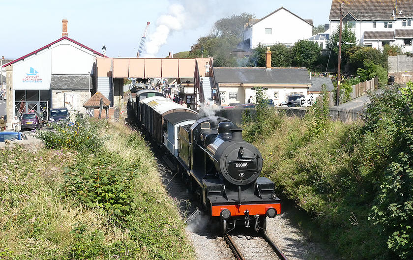
The busy station near the harbour...
Watchet Station was the original terminus of the West Somerset Railway, at the end of the fourteen mile line from Norton Fitzwarren opened in 1862. This explains the rather odd position of the main station building set at right angles to the line.
Before the line was extended to Minehead in 1874, by an 'end-on' junction, the station forecourt stretched right across to the goods shed with railings where there is now railway track.
As part of the extension works, the footbridge - one of only two on the line - was added later to maintain the public right of way.
The signal box (long since demolished) was built into the bank behind the platform, and was quite lofty to ensure the signalman had a good view of the harbour lines.
To the east of the platform is Govier's Lane Crossing, once protected by a gong sounded at the approach of a train but now reconstructed to modern standards.
The station is maintained and supported by the Friends of Watchet Station.
More information...
Location...
- Postcode: TA23 0AU
- OS Grid Reference: ST072432
- Geographic Coords: 51.1806, -3.3291
- what3words: ///pumps.certainty.everybody
The Stations...